The VH Luxe destination guide

Salar de Uyuni and the Bolivian Altiplano

Last updated 16 August 2026

Altitude, distance and medical readiness define the expedition before field time is scheduled.

Recommended stay

5–

8 nights

Best time

The wetter period can create reflective water but may restrict routes or island access. Drier months often expose salt geometry and support broader crossings, with intense sun, cold nights and dust. Wind, standing water, road washouts, snow and protected-area conditions can alter any season.

Primary gateway

Uyuni Airport (UYU) or a confirmed staged road route from an acclimatization base

Journey context

Allow 5 to 6 nights for acclimatization and focused Uyuni, or 7 to 8 for a medically and operationally appropriate southern Altiplano circuit.

Curator’s verdict

A focused salt-flat stay and the southwest Altiplano circuit are different journeys. The second is higher, colder, rougher and more remote, so acclimatization, field logistics and a clear turn-back rule determine whether it belongs.

Choose well

Which Uyuni and southern Altiplano expedition fits?

Choose altitude exposure, road tolerance and medical contingency before the photographs. A focused Uyuni route can be complete on its own.

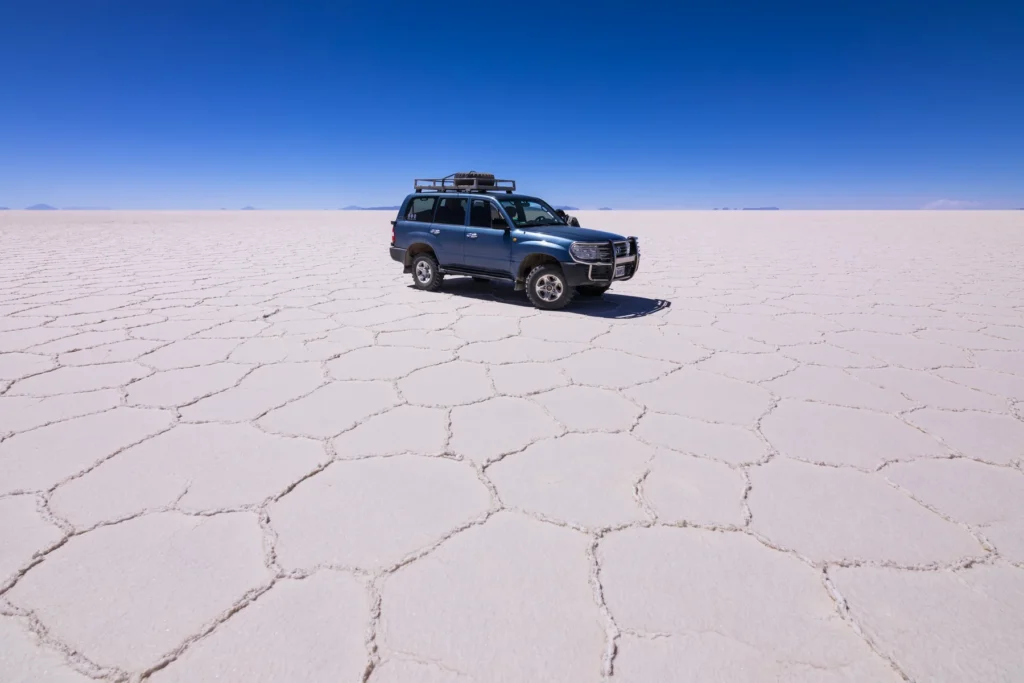
Exact Salar de Uyuni field landscape with lawful vehicle scale

First visits, shorter stays and travelers who want visual scale with stronger recovery

Keep the journey focused on Uyuni and the Salar

A focused plan allows multiple salt-flat windows, weather flexibility and a considered base without committing to the remote southwest circuit.

Worth knowing

Even this route involves high elevation, strong sun, cold, rough surfaces and changing access.
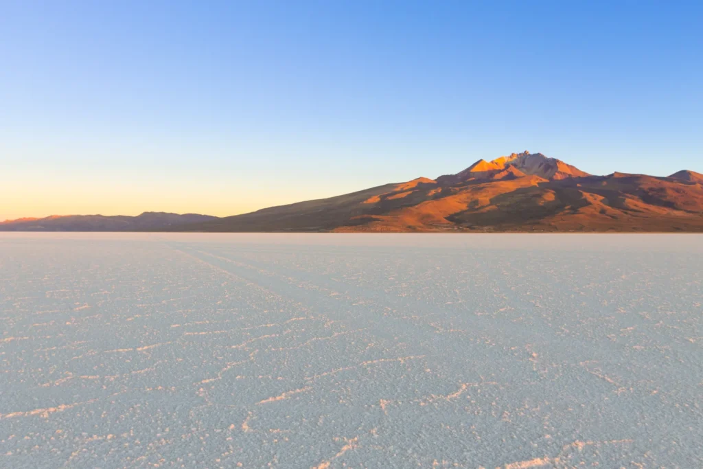
Documented Salar de Uyuni perimeter, volcanic edge or salt-side settlement context

Photographers, couples and repeat visitors who value fewer daily transit hours

Add a perimeter base for different light and geography

A confirmed lodge or camp position near the salt can support distinct dawn, day and night windows when lawful access and weather align.

Worth knowing

Property location, heating, power, water, medical readiness and true distance to each route vary substantially.

Experienced high-altitude travelers who accept simple remote logistics

Continue to the colored lagoons only as an expedition

The southern circuit adds geothermal, lagoon and volcanic landscapes when the operator and traveler are prepared for distance and elevation.

Worth knowing

Roads are rough, medical response is limited, accommodation may be basic and the itinerary can change without notice.

Travelers linking to San Pedro de Atacama with separate entry planning

Use the Chile border only as a protected connection

A cross-border route can avoid backtracking when both countries, operators and documents are independently confirmed.

Worth knowing

Border hours, immigration, roads and vehicle handoff can fail; San Pedro content remains outside this guide.

A considered introduction

The Salar de Uyuni changes with seasonal water, wind, salt condition and access. Reflective water, geometric crust and island access are different possible states, not interchangeable guarantees. A two-base salt-flat journey can remain visually powerful without continuing into the far southwest.

The colored-lagoon and Eduardo Avaroa circuit adds remoteness, elevation, rough roads and limited medical response. Six nights can support a focused route with acclimatization; seven or eight are more appropriate when the southern circuit is included. Pre-travel clinical guidance and an operator-specific emergency plan are essential for individual risk.

Advisor note

Advisor perspective: I would design the altitude sequence before choosing the lodge, keep the first field day conservative and add the southern circuit only when vehicle, driver, oxygen protocol, communications and evacuation are documented. VH Luxe Travels can coordinate preferred-partner value and tailored arrangements where applicable, with every air, road, protected-area and private-format component confirmed before travel.

What stays with you

Signature experiences

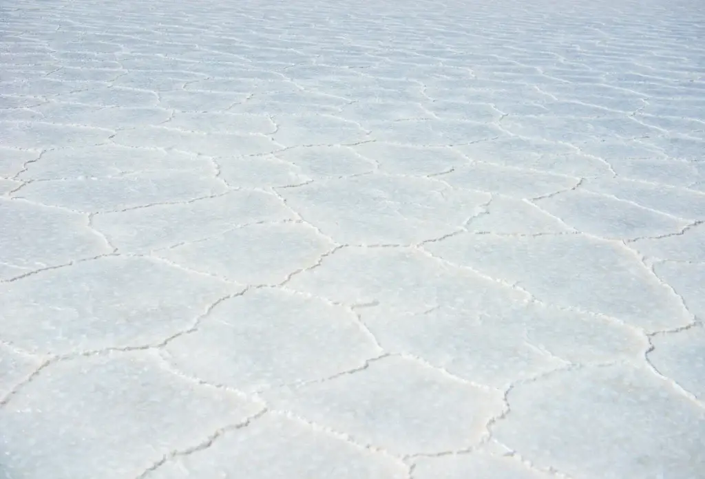
AI-generated editorial visualization of Salar de Uyuni salt-polygon and shallow-water processes; surface condition is illustrative, not current evidence.

Salt and hydrology

Read the Salar as a changing water-and-mineral system

Use a qualified local guide to interpret current salt, water and route conditions, then select one lawful stop suited to the surface that day.

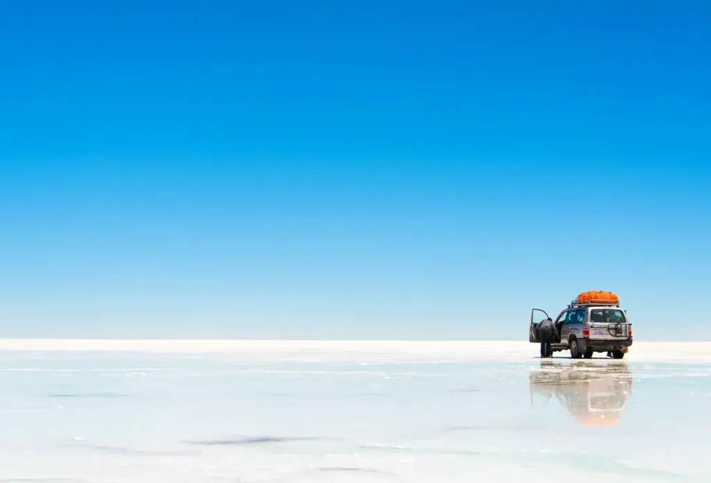
AI-generated editorial visualization of scale on Salar de Uyuni; the vehicle does not document an operator, authorization, route or current condition.

Field geography

Make one horizon study the field objective

Choose a carefully timed, accessible field position with confirmed vehicle support and study light, wind and cloud from within the authorized route.

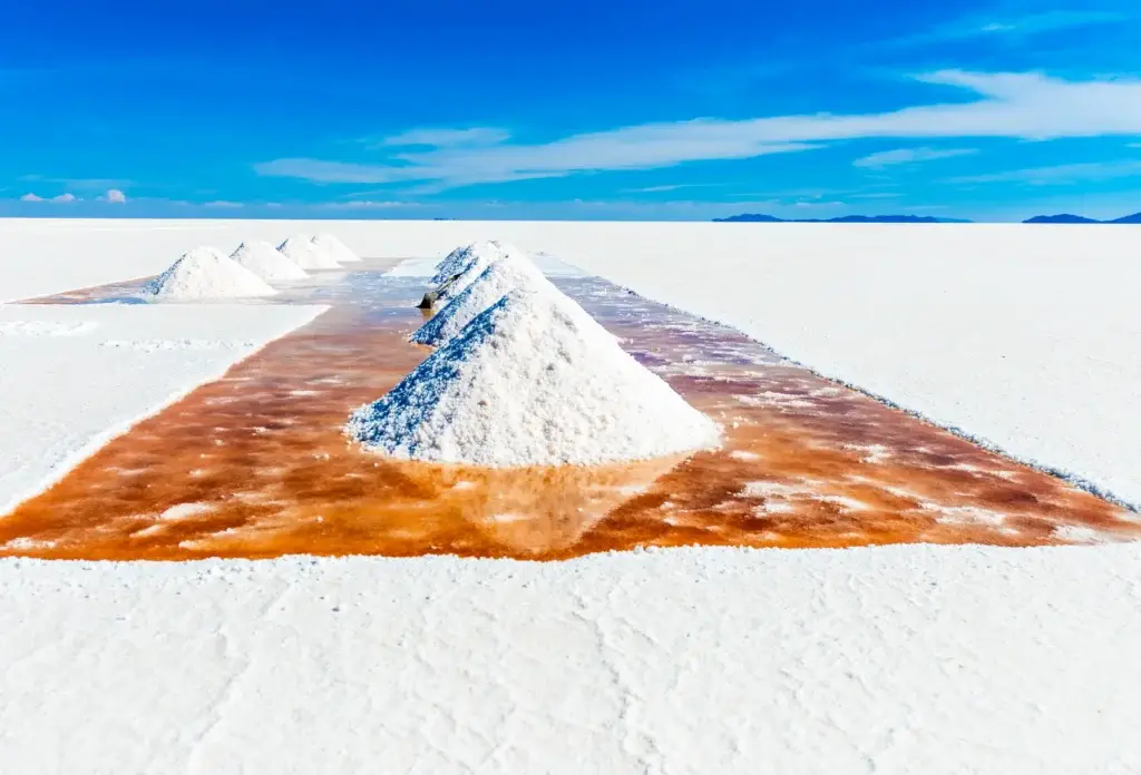
AI-generated editorial visualization of an abstract salt-work material context near Colchani; it does not depict workers, a cooperative, real process or actual site.

Local economy

Understand salt work through worker-controlled context

Use an official or community-authorized context to discuss salt production and local livelihoods, with worker participation and photography controlled by the people involved.

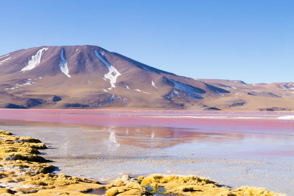
Documented named lagoon in Bolivia's Eduardo Avaroa reserve

High-altitude ecology

Read colored lagoons with a naturalist

On the southern circuit, use a qualified naturalist to interpret wetland ecology and wildlife from lawful distances, without route deviation or encounter promises.

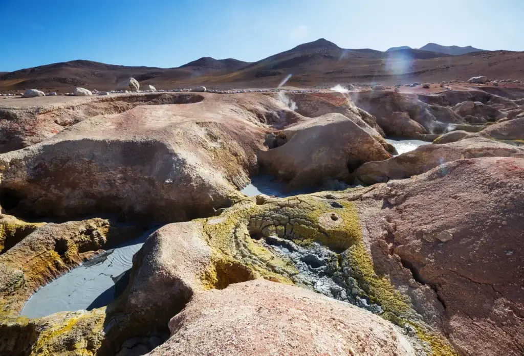
AI-generated editorial visualization of Sol de Manana geothermal context; it does not document current steam, access, route or safety conditions.

Geothermal landscape

Approach Sol de Mañana with a safety-led route

Visit only with the current authorized route and a qualified operator, respecting unstable ground, fumes, wind, cold and protected-area instructions.

Travel restored

What makes Salar de Uyuni and the Bolivian Altiplano a wellness destination?

What makes Salar de Uyuni and the Bolivian Altiplano a wellness destination?

Immense horizons and a simple daily rhythm of movement, warmth, food and rest can lower sensory and decision load. CDC guidance puts acclimatization first, with gradual ascent, conservative early activity and individual medical advice.

Wellness role
A meaningful restorative layer
Best for
Experienced landscape travelers who value sensory quiet and can accept a clinically responsible, low-density high-altitude plan
Format
Staged ascent, gentle first-day movement, horizon observation, warm recovery and expert-led daily condition checks
Ideal commitment
A conservative first 48 hours, one field objective per day and an operator plan with communications, oxygen protocol and evacuation criteria
Intensity
Varies

For companions

Best for travelers with compatible altitude tolerance and expectations; mixed groups need separate lower-exposure alternatives and a clear turn-back rule.

Seasonal lens

Every season requires high-altitude preparation. Water, wind, cold, snow, sun and road conditions change which low-intensity field interval is safe and meaningful.

Protect acclimatization before the signature landscape

Altitude-first arrival

Use pre-travel clinician guidance, a conservative first day, light activity and a documented operator check, reserving the longest drive until after reassessment.

Duration
First 24 to 48 hours
Intensity
Gentle
Best for
Travelers approved for high-altitude travel
Consider

Altitude illness can be serious. Follow individualized medical advice and descend or seek care when the clinical plan requires it.

Lower visual and decision density

Horizon attention

Choose one lawful field stop with seating, wind protection and a qualified guide, then observe the changing light from that position.

Duration
20 to 45 minutes
Intensity
Gentle
Best for
Travelers who value quiet sensory focus
Consider

Cold, glare, wind and altitude remain active risks. No mental-health or biomarker outcome is promised.

Restore temperature and energy after exposure

Warmth and recovery

Return to a verified heated setting for a simple meal, hydration and protected rest before considering another field window.

Duration
90 minutes or longer
Intensity
Gentle
Best for
All travelers after cold or windy exposure
Consider

Heating, hot water, food, allergies and power resilience must be confirmed. This is comfort and safety, not treatment.

Observe wetland ecology patiently

Naturalist-led wetland stillness

When the southern route is active, use a qualified naturalist and lawful viewpoint to read lagoon ecology without approaching or repositioning wildlife.

Duration
30 to 60 minutes
Intensity
Gentle
Best for
Wildlife and landscape travelers approved for the route
Consider

No species, flock, behavior or access is guaranteed. Keep current protected-area distance and route rules.

Keep the discipline to shorten the plan when the body or landscape calls for it. High-altitude travel carries real medical risk; horizon time, salt, geothermal environments, food and spa services are not medical, detox or longevity treatments.

Timing the journey

When to go

The wetter period can create reflective water but may restrict routes or island access. Drier months often expose salt geometry and support broader crossings, with intense sun, cold nights and dust. Wind, standing water, road washouts, snow and protected-area conditions can alter any season.

Dec · Jan · Feb · Mar

Conditional

Wetter and possible mirror period

Weather
Standing water may create reflections while restricting crossings, islands and some field routes.
Crowds
Demand can rise around iconic mirror imagery even when the exact condition is unavailable.
Best for
Flexible photographers and travelers satisfied with water, cloud or partial-access landscapes.

Apr · May

Conditional

Transition toward drier salt

Weather
Surface water and route access can change quickly, with cold nights and strong sun.
Crowds
Demand may ease while operators reassess accessible sectors.
Best for
Travelers who accept mixed surface states and keep route flexibility.

Jun · Jul · Aug

Best

Cold dry season

Weather
Drier surfaces may support broader salt routes, with severe night cold, glare, wind and possible snow on the Altiplano.
Crowds
Popular travel dates can compress the limited supply of heated rooms, suitable vehicles and experienced guides.
Best for
Salt geometry, broad crossings and prepared expedition travelers.

Sep · Oct · Nov

Conditional

Dry, windy transition

Weather
Dry salt, dust, wind and increasing heat contrast shape field conditions before seasonal rains.
Crowds
Demand varies, but exact expedition support remains limited.
Best for
Landscape-first travel with a careful cold, sun and wind plan.

Mirror conditions, dry polygons, island access, road surfaces, snow, wind, cold, fuel, protected-area routes and border operations cannot be guaranteed. Reconfirm the exact route and emergency plan close to travel.

Value, clearly framed

Understanding trip value

Custom quote based on exact dates, air cabin, accommodation, professional transfers, qualified guidance, admissions, confirmed experiences, accessibility and cancellation terms. No public package price is stated.

What shapes the guidance

5 to 8 nights for two medically prepared travelers; confirmed UYU or staged road gateway, one or more verified high-altitude bases, expedition-grade vehicle and crew, protected-area compliance and documented communication and evacuation protocols priced at proposal stage.

Journey logistics

Arrive well

Travelers may reach Uyuni by scheduled domestic air or a long reserved road route. Live flight, fuel, baggage, roadblocks, weather and airport operation require recheck. Do not place a remote field circuit against an unprotected onward flight.

Primary gateway Uyuni Airport (UYU) or a confirmed staged road route from an acclimatization base

Premium commercial air

Arrive through Uyuni

Confirmed domestic air originUyuni Airport (UYU)

Scheduled air followed by reserved field transfer

Confirm live flight, baggage, airport operation, weather, fuel, driver meeting point and altitude-readiness plan.

Final transfer

Stage the approach by road

Confirmed Bolivian city or regional gatewayExact Uyuni-area property

Reserved professional driver and expedition-suitable vehicle

Confirm roadblocks, surface, fuel, driver hours, communications, medical support and the effect of rapid ascent.

Final transfer

Enter the southwest Altiplano only as a separate expedition

Uyuni or confirmed salt-flat baseAuthorized colored-lagoon and Eduardo Avaroa route

Documented high-clearance expedition vehicle with qualified crew

Confirm protected-area rules, permits, route, weather, fuel, oxygen protocol, satellite communication, sanitation, accommodation and evacuation. The route may be shortened or cancelled.

Access and mobility

Confirm aircraft steps, vehicle height, hours on rough roads, salt and mud surfaces, wind, cold, washrooms, room heating, oxygen response, communications and evacuation. A vehicle-supported viewpoint can still require difficult boarding and prolonged exposure at high elevation.

Before you go

Practical planning notes

Wellness

Treat altitude as the first itinerary

Pre-travel clinical advice, staged ascent and a turn-back protocol come before the signature landscape.

Packing

Document expedition readiness

Record the vehicle, driver, fuel, communications, oxygen protocol, sanitation and evacuation as concrete specifications.

Etiquette

Keep wildlife wild

Use lawful distances and exact metadata; no flamingo species, numbers or behavior are promised from an image.

Arriving

Protect the onward flight

Do not place a remote field return against a same-day UYU departure or border connection.

The VH Luxe approach

How VH Luxe composes the journey

  1. Acclimatize before pursuing the image

    Use the first day for recovery, clinician-aligned checks and a short conservative field interval.

  2. Read the Salar in its current state

    Select the lawful route after checking water, salt, wind, road and vehicle conditions.

  3. Add the southern circuit only after review

    Proceed when the traveler, crew, protected-area route and emergency plan remain suitable.

  4. Return with a protected buffer

    Finish remote movement before the final travel day and preserve flexibility for roads, weather or health.

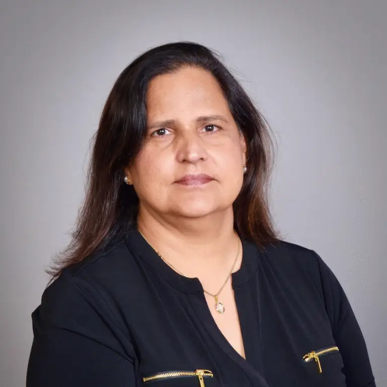
Paramjit Harika, VTA, CTA

Advisor-led planning

Your journey, personally considered

Paramjit Harika

Founder & Luxury Travel Advisor

I coordinate your hotel and room, premium air, transfers and key experiences as one considered journey, with one point of contact from planning through travel.

Good to know

Frequently asked questions

How many nights do you need for Uyuni?

Allow 5 to 6 nights for acclimatization and a focused salt-flat route, or 7 to 8 when the remote southern Altiplano circuit is appropriate.

When does Uyuni become a mirror?

Reflective water depends on current rainfall, water depth, wind and access. A travel month can improve the possibility but cannot guarantee the effect.

Is the southern colored-lagoon circuit part of every trip?

No. It is a longer, higher and more remote expedition with rough roads and limited medical response. A salt-flat-focused journey may be the better choice.

How should travelers prepare for altitude?

Seek individualized medical advice before travel, ascend gradually where possible and follow the operator's symptom, oxygen and evacuation protocol. Do not rely on fitness alone.

Can flamingos or other wildlife be guaranteed?

No. Species, numbers, location and behavior change. Use a naturalist, lawful distance and current protected-area rules without pursuit.

Can a private vehicle go anywhere on the Salar?

No. Private format does not override route safety, surface conditions, protected-area rules, community permissions or lawful access.